

Customer Context
A U.S. federal public health and emergency management organization required reliable, real‑time geospatial capabilities to support situational awareness, operational decision‑making, and all‑hazards emergency response across multiple agencies and stakeholders. For many reasons, the Agency could not hire an internal resource to fill the positions.
Challenge
The customer needed to integrate enterprise GIS capability into existing public health surveillance, incident command, and operational workflows. This included maintaining a shared geospatial operating picture, supporting non‑technical emergency managers, and ensuring data accuracy and availability during time‑critical response operations, all while aligning with national response frameworks and federal policies.
Our Approach
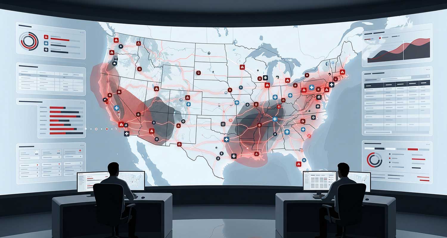
Our teammates are embedded on‑site with the customer as a trusted extension of their operational and information management staff. We supported an enterprise ESRI environment using ArcGIS Portal, ArcGIS Desktop and Pro, ArcServer, and ArcSDE, ensuring geospatial data remained current, secure, and accessible.
We led the maintenance and enhancement process for an interactive GIS‑based mapping platform used for public health and medical emergency management. This system integrates data such as evacuation routes, medical care sites, hazards, and response resources to enable rapid coordination during incidents.
In addition, we provided technical consultation to senior leadership on geospatial data collection, processing, geocoding, spatial analysis, and cartographic presentation. Issues were proactively investigated and resolved, with recommendations and supporting documentation made to improve system performance and operational outcomes.
Training and Knowledge Transfer
To support widespread adoption, we created and delivered training, documentation, and technical guidelines tailored to non‑technical emergency management senior management personnel. Ongoing technical support and application administration ensured the continued effectiveness of GIS tools in operations‑center environments.
Results and Impact
- Improved real‑time situational awareness for public health and emergency leadership
- Increased reliability and accessibility of geospatial data during responses
- Greater adoption of GIS tools by non‑technical managers
- Stronger integration of spatial analysis into public health decision‑making
- Enhanced preparedness through support of exercises and real‑world events
Partnership Model
By working on‑site, maintaining rigorous documentation, and continuously evaluating new geospatial technologies, we built a long‑term partnership focused on mission success and continuous improvement in government emergency response operations.
